Atlas of the Ethno-Political History of the Caucasus, by Arthur Tsutsiev
 Atlas of the Ethno-Political History of the Caucasus
Author: Arthur Tsutsiev
Translated from Russian by: Nora Seligman Favorov
Year: 2014
Place of Publication: New Haven & London
Published by: Yale University Press
Number of pages: 221
Language: English
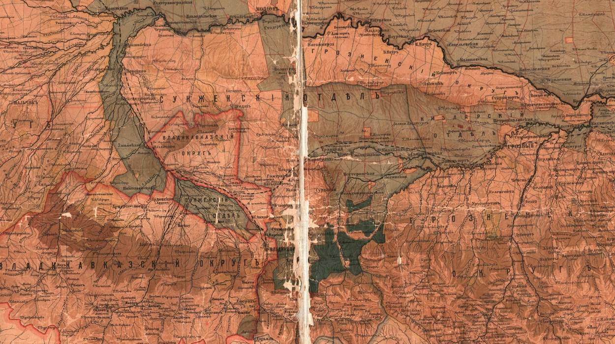
The Atlas of the Ethno-Political History of the Caucasus is a magnificent collection of fifty-six original maps with commentaries that detail the ethnic, religious, and linguistic makeup of the Caucasus—the region located between the Black and Caspian Seas that contains Europe’s highest mountain—from the eighteenth century to the present. The highly detailed maps and text untangle the exceptionally complicated history of this area, poised between Europe and Asia, which has been marked by ethnic conflicts and changing political borders. The Atlas illuminates the conflicting historical visions of homelands and borders, and provides a comprehensive reference tool for scholars, geographers, and historians.
The full book in PDF can be downloaded by clicking here (79.2 MB)
Frontmatter
Contents
Foreword, by Georgi Derluguian
Introduction
Guide to the Maps
1. The Caucasus: Historical and Geographic Areas and Contemporary Borders
2. 1722–1739: The Imperial Rivalry over the Caucasus Borderlands
3. 1763–1785: The Caucasus around the Time of the Russian Conquests
4. 1774–1783: Ethnolinguistic Map of the Greater Caucasus
5. 1791–1801: The Caucasus Defensive Line from Kizlyar to Taman
6. 1801–1829: Russia’s Acquisition of Transcaucasia and the War in the Greater Caucasus
7. 1829–1839: Administrative Makeup of the Early Russian Caucasus
8. 1840–1849: Escalation of the Caucasus War and (Re-)Establishment of the Viceroyalty
9. 1856–1859: Before the Final Storming of the “Caucasus Fortress,”
10. 1860–1864: The End of the War and the Formation of Kuban, Terek, and Daghestan Provinces
11. 1865–1870: Military-Native Government in Highlander Territories
12. 1867–1886: The Ethnolinguistic and Administrative Composition of Daghestan
13. 1871–1881: The Trend toward Civilian Government in the North Caucasus
14. 1881–1888: The Caucasian Periphery of the Emerging Russian Nation
15. 1763–1913: 150 Years of Russian Colonization
16. 1913: The Terek Cossack Host
17. 1763–1918: 155 Years of Non-Russian Colonization
18. 1886–1890: An Ethnolinguistic Map of the Caucasus
19. 1886–1890: A Religious Map of the Caucasus
20. 1913: Land and Ethnicity in Terek Province
21. 1903–1917: Administrative Divisions before the Collapse of the Empire
22. October 1917–May 1918: The Beginning of the Civil War and Foreign Intervention
23. May–November 1918: The Emergence of Independent States in Transcaucasia
24. December 1918–November 1919: Denikin’s Dominance in the North Caucasus
25. 1917–1919: The Gorskaya Republic, a Failed Attempt at Independence
26. 1920: The Azerbaijan Democratic Republic and Soviet Russia
27. 1920: Partition of the Republic of Armenia
28. 1921: The End of the Georgian Democratic Republic
29. 1921: Early Administrative Divisions in the Soviet Caucasus
30. 1922–1928: Building a Soviet State out of Multitude of Nations
31. 1926: An Ethnic Map Reflecting the First Soviet Census
32. 1926: Using the Census to Identify Russians and Ukrainians
33. 1929–1934: The Rise and Fall of the “National Principle” in Administrative Divisions
34. 1936–1938: The Constitutional Codification of a Hierarchy among Peoples and Territories
35. 1937–1949: World War II and Ethnic Deportations from the Caucasus
36. 1943–1956: A Selective Purge of the Ethnopolitical Map
37. 1957: The Return of the Deported Peoples and the Restoration of Their Autonomies
38. 1957–1990: Stability and Conflict under “Developed Socialism,”
39. 1989–1991: Overview of the Ethnopolitical Rivalries at the Conclusion of the Soviet Era
40. 1991–2003: The Dissolution of the Soviet Union and the Escalation of Armed Conflict in the Caucasus
41. 1988–1994: Mountain (Nagorny) Karabakh
42. 1991–1992: South and North Ossetia
43. 1992–1993: Abkhazia
44. 1994–2003: Chechnya and Daghestan
45. 1989–2010: An Ethnic Map of the Caucasus
46. 2012: Major Roads and Transportation Corridors
47. 2012: Primary Petroleum Transportation Routes
48–56. Conflicting Historical Visions of Homelands and Borders
57. 2014: The Political and Administrative Map of the Caucasus
Appendix 1: The Area and Population of Administrative Units and States of the Caucasus Region
Appendix 2: Major Cities in the Caucasus
Appendix 3: Ethnic Composition of the Caucasus: Historical Population Statistics
Appendix 4: Administrative Units of the Russian Empire and the USSR
List of Sources
The full book in PDF can be downloaded by clicking here (79.2 KB)